My Cart
Your cart is empty
Looks like you haven't made your choice yet.
- Subtotal
The Normandy Coast and Landing Beaches
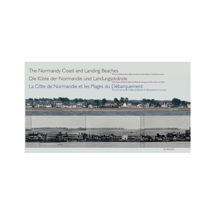
La Côte de Normandie et les Plages du Débarquement - Die Küste der Normandie und Landungsstrände
- Acta-S
- Expo: 06/06/2019 - October 2019, Port-en-Bessin-Huppain
- Jo Struyven
More Information
| Publisher | Acta-S |
|---|---|
| ISBN | 9789081925327 |
| Author(s) | Jo Struyven |
| Publication date | May 2019 |
| Edition | Hardback |
| Dimensions | 201 x 338 mm |
| Pages | 332 |
| Language(s) | Eng./Fr./Germ. ed. |
| Exhibition | Port-en-Bessin-Huppain |
Description
A view of 90 km of coastline, military details and pictures of the landing on D-Day.
Une vue sur 90 km de côte, des détails militaires et des photos du débarquement.
Ein Blick auf 90 km Küste, militärische Details und Bilder der Landung am D-Day.
Het boek bestaat uit 3 delen en is in 3 talen (Engels, Frans en Duits).
Eerst wordt er een panorama (zonder perspectief) van de Normandische kust tussen Franceville-Merville plage en Quinéville getoond. Dit panorama van 90 km wordt weergegeven van pagina 7 tot en met pagina 224.
Daarna volgt er een historische omkadering en een opsomming van landingstroepen per landings sector (pagina 225-262).
Tenslotte is er een meer gedetailleerd panorama per aanvalszone met eronder een panorama van 1943-1944. Deze twee panorama's worden aangevuld door oude foto's van de landing. Er is een indicatie waar de eerste aanvalsgolf is geland.
De lezer vindt in het boek de exacte locatie van de landing en de Atlantikwall.
Le livre est composé de 3 parties et contient 3 langues (anglais, français et allemand).
Tout d'abord, un panorama (sans perspective) de la côte normande entre Franceville-Merville plage et Quinéville est présenté. Ce panorama de 90 km est affiché de la page 7 à la page 224.
Viennent ensuite un cadre historique et une liste des troupes de débarquement par secteur de débarquement (page 225-262).
Enfin, il y a un panorama plus détaillé par zone d'assaut confronté avec un panorama de 1943-1944. Ces deux panoramas sont complétés par d'anciennes photos du débarquement. Il y a une indication où la première vague d'attaque a débarquée. Le lecteur trouvera l'emplacement exact du débarquement et du mur de l'Atlantique dans le livre.
The book consists of 3 parts
First, a panorama (without perspective) of the Normandy coast between Franceville-Merville plage and Quinéville is shown. This 90 km panorama is displayed from page 7 to page 224.
This part is followed by a historical introduction and a list of landing troops per landing sector (page 225-262).
Finally, there is a more detailed panorama per assault zone with a panorama below of 1943-1944. These two panoramas are supplemented by old pictures of the landing. There is an indication where the first assault wave has landed.
The reader will find the exact location of the landing and the Atlantikwall in the book.

The Normandy Coast and Landing Beaches